How GIS Mapping and Remote Sensing Can Improve Transportation Engineering
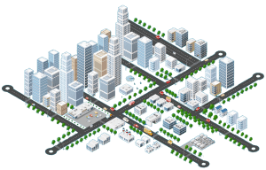
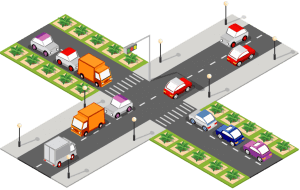
Transportation engineering is the discipline that deals with the planning, design, construction, operation, and maintenance of transportation systems, such as roads, bridges, tunnels, railways, airports, ports, etc. Transportation engineering can help to improve the efficiency, sustainability, and livability of urban areas by providing safe, reliable, and convenient transportation services and solutions.
However, transportation engineering is not an easy task. It requires a large amount of high-quality and reliable data from various sources and formats, such as sensors, cameras, GPS devices, surveys, maps, and satellite images. It also requires advanced tools and techniques to integrate, manage, analyze, and visualize the data in a meaningful way.
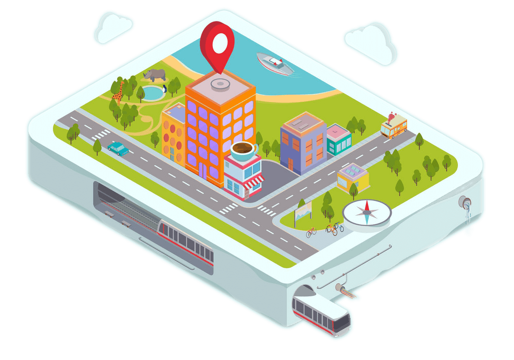
This is where GIS mapping and remote sensing come in. GIS mapping and remote sensing are two complementary technologies that can enhance the capabilities and outcomes of transportation engineering. GIS mapping is the process of creating and using digital maps that can store, display, and manipulate spatial data. Remote sensing is the process of acquiring and interpreting information about the earth’s surface and atmosphere from a distance, such as from satellites or aerial vehicles.
In this blog post we will explain how GIS mapping and remote sensing can improve transportation engineering in several ways. We will also show you how Think Transportation can help you to leverage the power of GIS mapping and remote sensing to achieve your transportation engineering goals.
How GIS Mapping Can Help You
GIS mapping can help you to obtain accurate and up-to-date spatial data on the physical characteristics and conditions of your transportation system, such as road network, land use, topography, climate, environmental factors etc. GIS mapping can also help you to integrate and fuse different types of data from multiple sources and formats, such as traffic counts, travel times, origin-destination matrices, socio-economic data demographic data etc.
GIS mapping can also facilitate the analysis and modeling of complex spatial relationships and patterns among your transportation system components and variables such as accessibility connectivity congestion travel behavior mode choice emissions accidents etc. GIS mapping can also support the visualization and communication of your transportation engineering results in an intuitive and interactive way such as using maps charts graphs dashboards animations 3D models etc.
Some of the benefits of GIS mapping for transportation engineering are:
You can create and update digital maps of your transportation system that can reflect the current and future scenarios and changes.
You can overlay and compare different layers of data on the same map to identify the spatial patterns and correlations among the data.
You can perform spatial analysis and modeling to measure and evaluate the performance and impact of your transportation system and solutions.
You can create and share interactive maps and reports that can communicate your findings and recommendations to your stakeholders and audiences.
How Remote Sensing Can Help You
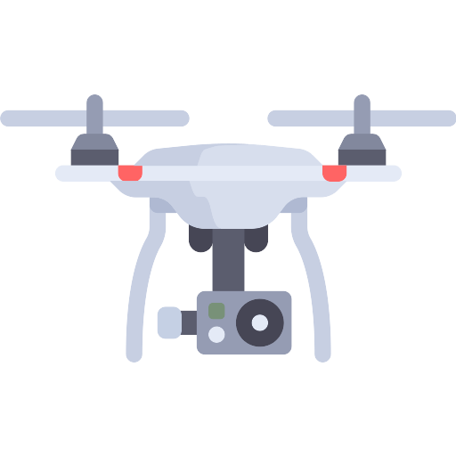
Remote sensing can help you to acquire and process information about the earth’s surface and atmosphere from a distance such as from satellites or aerial vehicles. Remote sensing can provide you with high-resolution images and data that can complement and enhance your GIS mapping data. Remote sensing can also help you to monitor and detect the changes and anomalies in your transportation system over time and space. Remote sensing can also help you to validate and calibrate your GIS mapping data and models.
Some of the benefits of remote sensing for transportation engineering are:
You can obtain images and data of your transportation system that are not easily accessible or available from other sources such as aerial or satellite imagery.
You can use remote sensing techniques such as image classification segmentation feature extraction change detection object recognition etc. to extract useful information from the images and data.
You can use remote sensing data to monitor and analyze the temporal and spatial dynamics of your transportation system such as traffic flow land use change urban sprawl environmental impact etc.
You can use remote sensing data to validate and calibrate your GIS mapping data and models such as by comparing the ground truth data with the remote sensing data.
How Think Transportation Can Help You
At Think Transportation we are experts in GIS mapping and remote sensing for transportation engineering. We have exceptional domain knowledge in GIS mapping, remote sensing, and transportation engineering. We have delivered many successful projects in MENA, North America, South Asia, and Central Europe regions for both the public and private sectors. We use state-of-the-art tools and techniques to provide you with the best GIS mapping and remote sensing services such as:
GIS data collection processing and management
GIS data analysis and modeling
GIS data visualization and reporting
Remote sensing data acquisition and processing
Remote sensing data analysis and interpretation
Remote sensing data integration and fusion
We can help you to leverage the power of GIS mapping and remote sensing to improve your transportation engineering and to achieve your transportation engineering goals. Whether you need to plan design construct operate or maintain your transportation system we can provide you with the best GIS mapping and remote sensing solutions that suit your needs and budget.