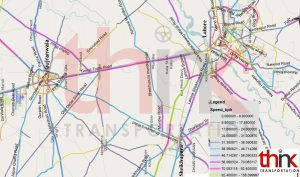
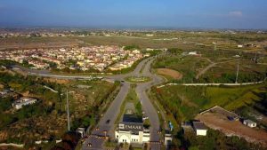
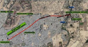
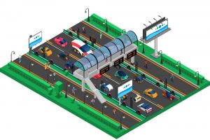
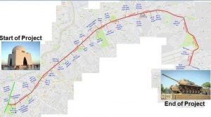
Validation of Traffic Demand of Sheikhupura Gujranwala Road
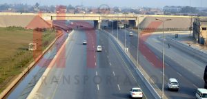
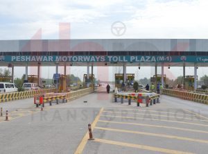
Punjab, being the largest province in the country, has a road network of around 107,973 km including about 3.5% National Highways and 30% low type 2 roads. Being cognizant to the growing need for enhancing the capacity and strength of the road infrastructure, the Govt. of Punjab has embarked upon an ambitious programme of dualization and widening of roads and construction of rural highways and farm to market roads.
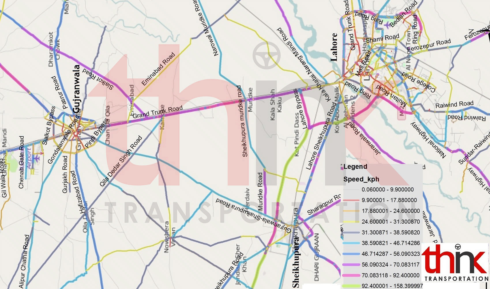
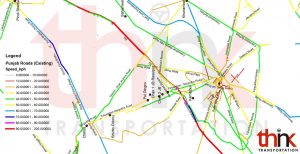
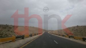
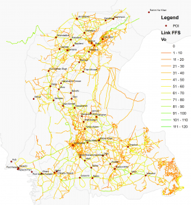
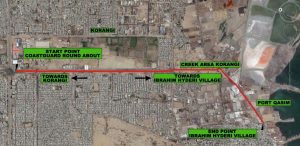
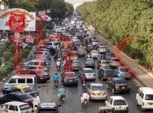
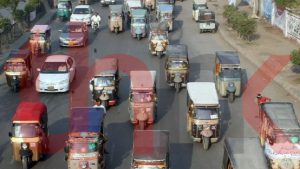
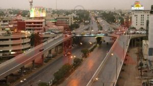
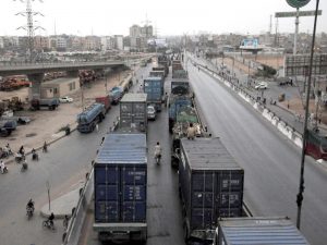
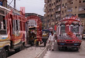
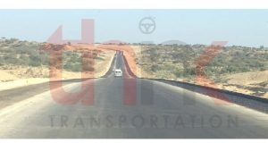
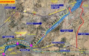
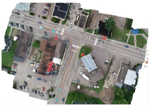
For Sheikhupura – Gujranwala road, the scope of survey was confined to 45km segment of road after the reconnaissance survey. This Road serves as the main highway between Sheikhupura and Gujranwala whereas M2 and N5 cater to the traffic from other cities of Punjab for Sheikhupura and Gujranwala respectively. The pavement condition and travel time on both M2 and N5 are much satisfactory than the Sheikhupura– Gujranwala Road which makes the route shift of traffic from these roads quite less likely after the Project road becomes operational.
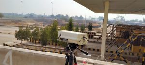
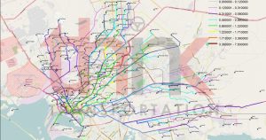
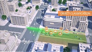
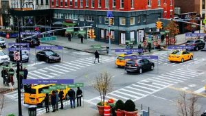
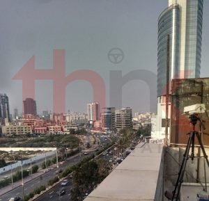
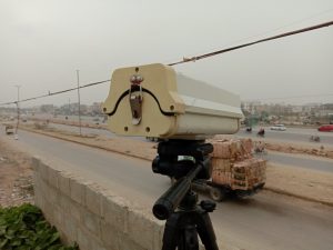
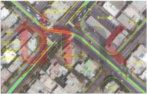
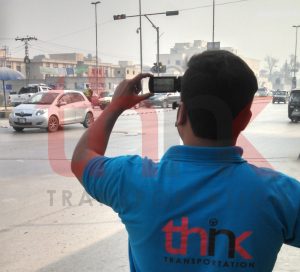
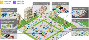
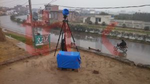
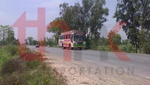
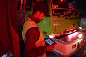
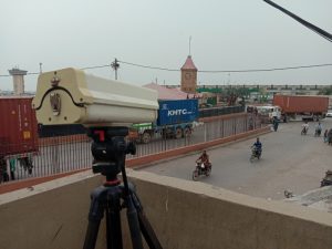
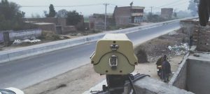
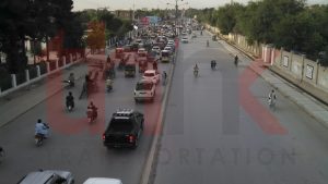
This project includes details about the various traffic studies undertaken and deemed necessary for obtaining key inputs for the geometric and pavement design of the Project Road and determination of traffic forecasts pertaining to volumes and composition for the next 25 years, thereby carrying out capacity analysis, calculating yearly level of service and lane enhancement requirements. It was ensured that all the aspects have been taken care of that were contained within the scope of works of the terms of reference of the Project. Different types of studies carried out for the aforementioned purposes include: Video graphic surveys and Manual Classified Traffic Counts at mid blocks and Peak Hour Turning Movement Counts at Intersections, Origin – Destination Surveys, Willingness to Pay Surveys and study of the existing route characteristics. The acquired data was utilized for computation of key factors required for analysis.
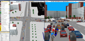
The computer based model is developed after validation of traffic parameters along with origin destination survey results, to determine travel time, distance and cost saved by vehicles through using improved facility. This information is then used in financial model to examine the feasibility of project for BOT basis.