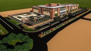
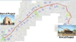
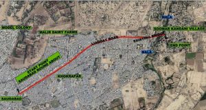
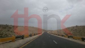
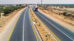
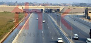
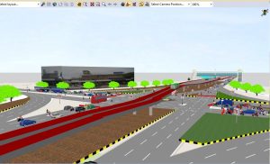
Feasibility of Dualization of Faisalabad Chiniot Road
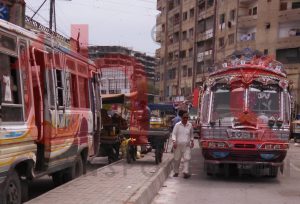
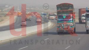
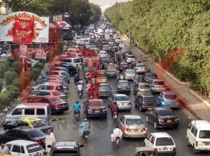
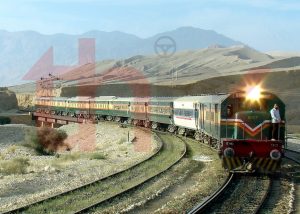
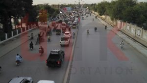
The road network in Pakistan carries over 96 percent of inland freight and 92 percent of passenger traffic and is undoubtedly the backbone of the economy 1. With this large share in carrying the passenger and goods traffic all across the country, roads play a major role in the transportation system and provide connectivity between the centers of production and areas of consumption of agricultural and industrial goods facilitating economic growth, integrating the country, and helping reduce poverty. Due to various economic factors including the declining share of railways in the carriage of passengers and goods and the consequent shift towards their movement by road, the traffic volumes have been on the rise not only in the urban regions of Pakistan but also on the rural roads during the last three decades. The increase in the road traffic, especially the heavy goods vehicles, coupled with a backlog of maintenance due to non-availability of sufficient funds, has resulted in the deterioration of the road infrastructure, economic losses due to travel delays and higher vehicle operating costs, environmental pollution due to traffic congestion and above all severe traffic hazards. All these factors reflect towards an immediate need for the widening and improvement of road infrastructure to meet the rising demand for roadway capacity and pavement strength to sustain the imposed heavy loads in a reliable, safer, economical and environment-friendly manner.
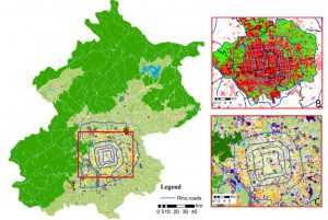
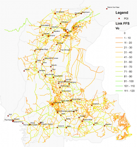
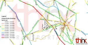
Punjab, being the largest province in the country, has a road network of around 107,973 km including about 3.5% National Highways and 30% low type 2 roads. Being cognizant to the growing need for enhancing the capacity and strength of the road infrastructure, the Govt. of Punjab has embarked upon an ambitious programme of dualization and widening of roads and construction of rural highways and farm to market roads.
Faisalabad District, having a total area of 5856 Km is situated between longitude 73⁰ and 74⁰ East, Latitude 30⁰ and 31.5⁰ North and at an elevation of 605 feet above mean sea level. It is bound by Hafizabad, Jhang and Toba Tek Singh districts towards North and North West. Sheikhupura, Okara and Sahiwal lie in its East and South East. The district is not separated by any natural boundaries from the adjoining districts. It comprises of sic tehsils namely; Faisalabad City, Faisalabad Saddar, Samundri, Jaranwala, Tandiwala, and Chak Jhumra.
River Chenab flows about 30 Km in the North West while River Ravi meanders about 40 Km off the city in the South East, across which lies Okara. Lower Chenab canal is the key source of water for agriculture purpose and caters about 80% of the total requirements of the cultivated land.
Faisalabad city is also known as “Manchester of Pakistan” for being a significant contributor in the GDP of Pakistan. The progress of trade and expansion of economic markets in the city is primarily owned to its location that is at a road and a railway junction. Faisalabad is surrounded by villages, where agriculture is the main source of bread-earning. The lower Chenab serves for irrigation of cotton, sugarcane, wheat, vegetables and fruits, which amounts to 55% Pakistan’s exports. Besides agriculture, Faisalabad also houses manufacturing and repair industries like major railway repair yards, engineering works and mills that progress sugar, flour and oil seed. Produce includes superphosphates, cotton, and silk textiles, hosiery, dyes, industrial chemicals, beverages, apparels, pulp and paper, printing, agricultural equipment and ghee.
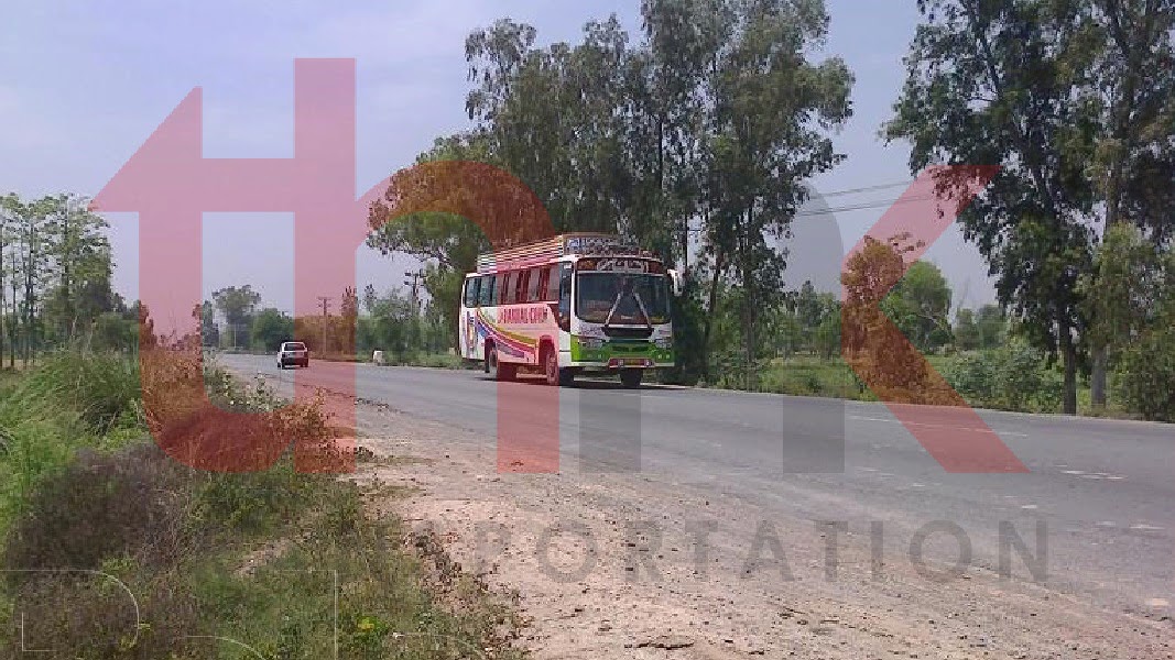
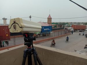
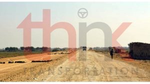
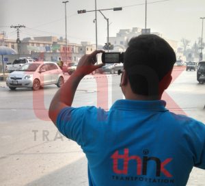
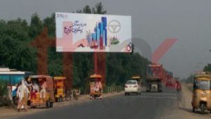
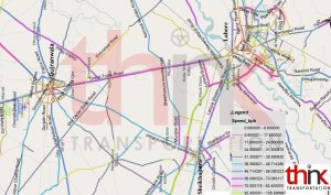
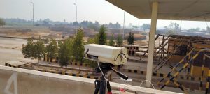
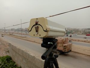
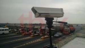
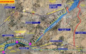
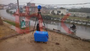
Traffic Study report comprises of findings and analysis of the data concerning volumes and composition / classification of traffic on Faisalabad – Chiniot Road. Data has been obtained from historic sources and by carrying out fresh traffic studies on the proposed Project Road Section.
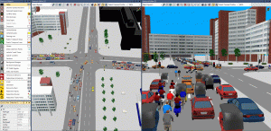
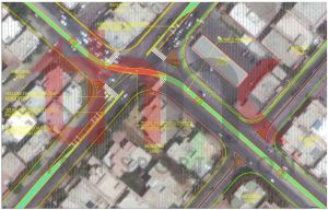
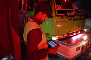
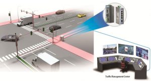
The study was bespeaking to fulfill the requirements instated in the scope of works section of the Project’s terms of reference. A series of surveys and studies were carried out to acquire vital information to serve as a basis for analysis including traffic surveys including video graphic surveys and Manual Classified Traffic Counts at mid blocks and Peak Hour Turning Movement Counts at Intersections, Origin – Destination Surveys, Willingness to Pay Surveys and study of the existing route characteristics. The data was organized and analyzed to obtain futuristic traffic needs and volumes for up to 25 years; to calculate level of service year-by-year by carrying out capacity analysis and lane requirements after completion of the project; and also the determination of 18-kip equivalent standard axle load repetitions over the analysis period presented in the Preliminary Pavement Design Report.