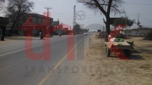
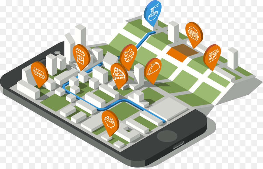
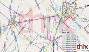
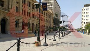
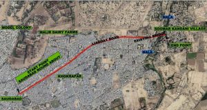
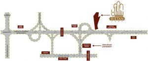
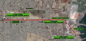
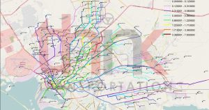
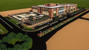
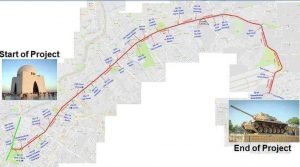
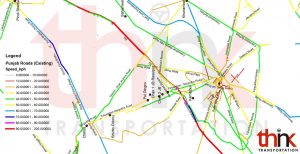
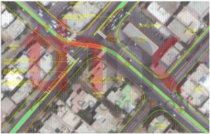
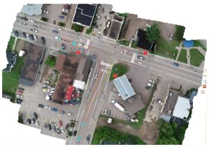
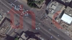
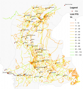
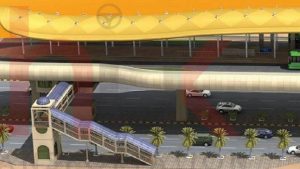
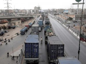
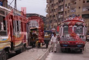
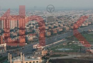
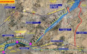
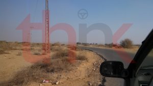
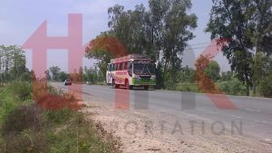
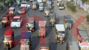
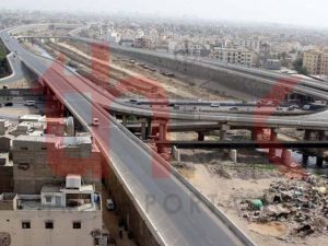
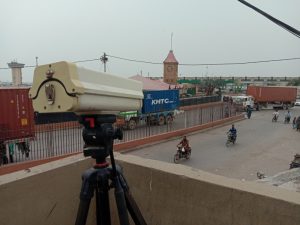
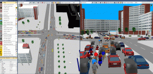
Facility Mapping provides means to plan strategic policy based on available resources. It requires marking of geo spatial location of concerned facilities and points along with records of detailed characteristics.
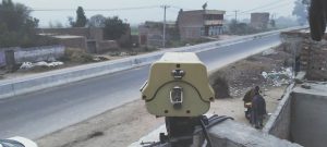
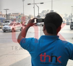
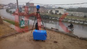
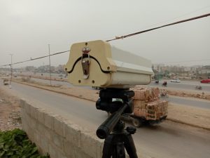
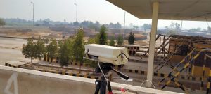
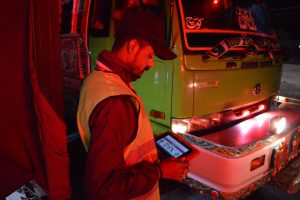
Think Transportation carried out detailed exercise of marking of facilities along with their dimension and characteristics. For this, we designed Point of Interest Survey Application which can observe location and dimension of facility using mobile GPS along with provision to recording its characteristics.