project_category: Data Collection

Data Collection

blog image

Automated Extraction of micro Traffic parameters

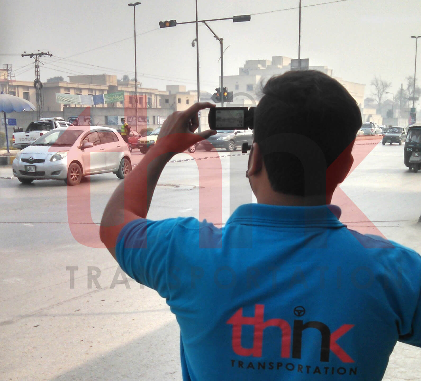
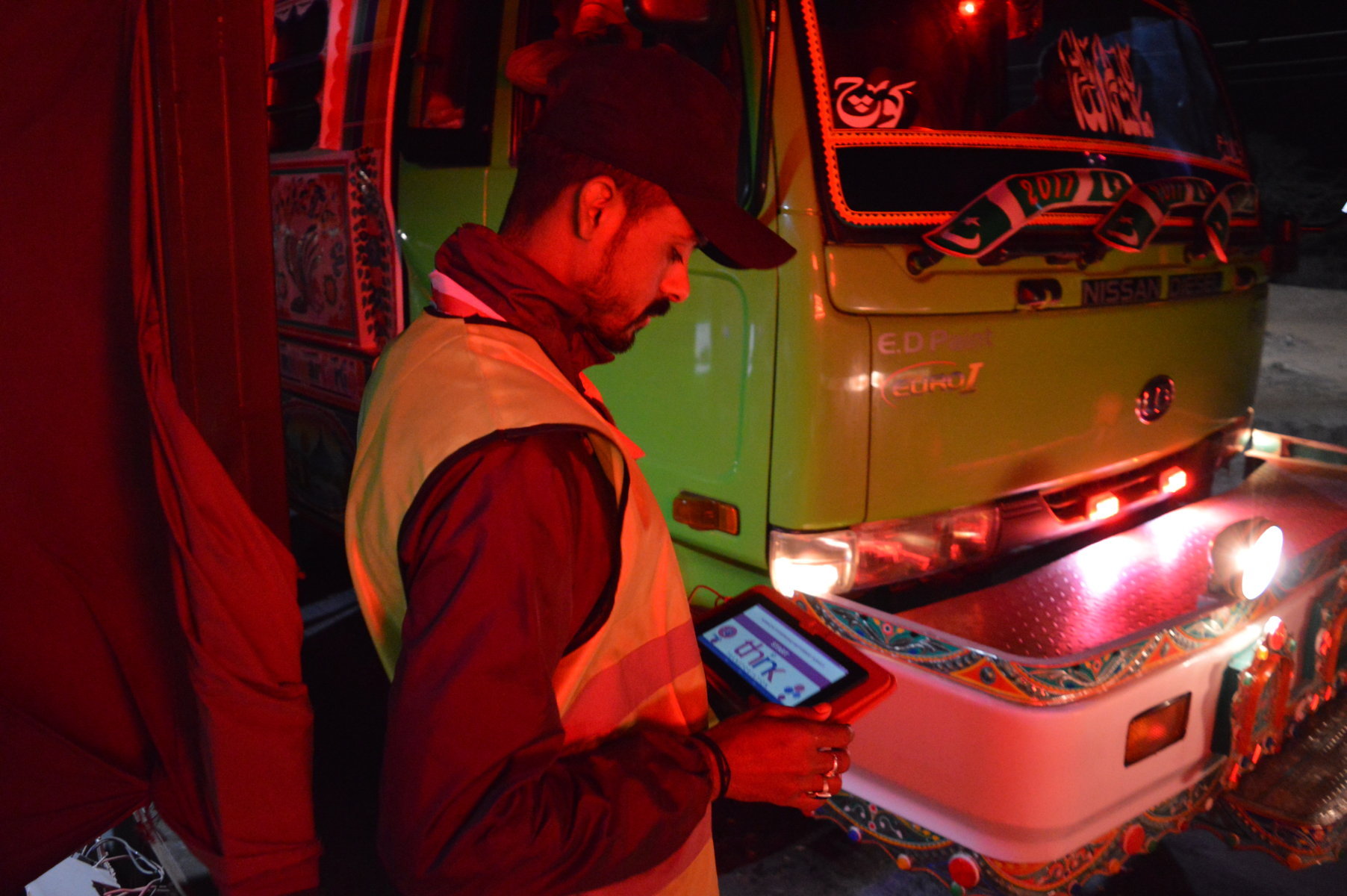
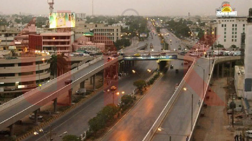
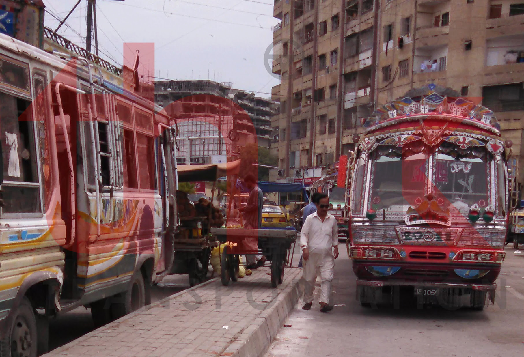
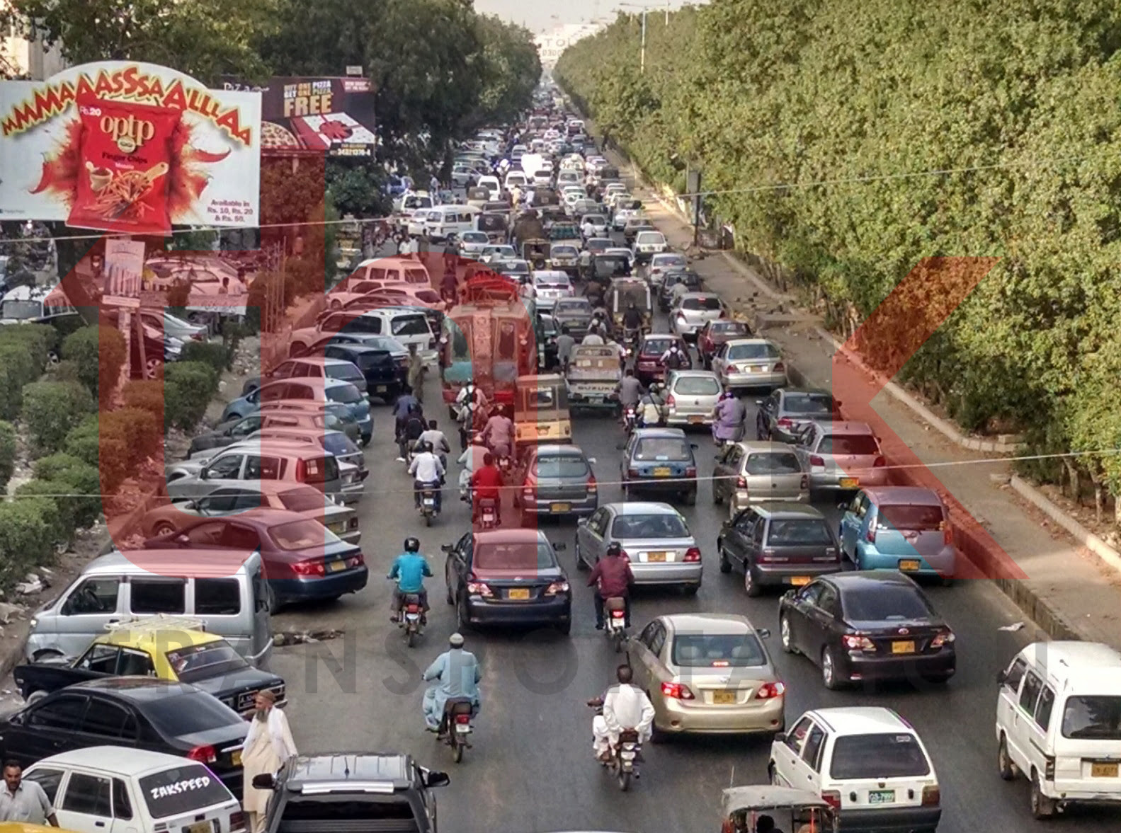
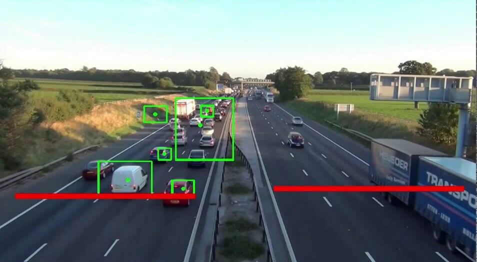
Automated Extraction of micro Traffic parameters Think Transportation undertake an assignment to estimate traffic parameters from an in-house built computer vision algorithm named as “Vision Genius”. Our computer vision enabled video analytics pipeline allowed for the analysis of the traffic videos from certain views and distance enabling for the localization and categorization of vehicles and

Read More
blog image

PESHAWAR BUS RAPID TRANSIT

Peshawar Bus Rapid Transit Peshawar is the capital of the Pakistani province of Khyber Pakhtunkhwa. It also serves as the administrative center and economic hub for the Federally Administered Tribal Areas. Situated in a broad valley near the eastern end of the historic Khyber Pass, close to the border with Afghanistan. Peshawar is the largest

Read More
blog image

NON-MOTORIZED CORRIDOR ANALYSIS OF SADDAR TOWN

Non-Motorized Corridor Analysis of Saddar Town Walking is the most familiar form of non-motorized transportation (NMT). Other common form of NMT include bicycles/tricycles; human porterage; handcarts/wheelbarrows; animal drawn carts; and other human powered vehicles. In fact, the definition of NMT includes any form of transportation that provides personal or goods mobility by methods other than

Read More
blog image

Real Time Geospatial Data Collection App

Real Time Geospatial Data Collection App Facility Mapping provides means to plan strategic policy based on available resources. It requires marking of geo spatial location of concerned facilities and points along with records of detailed characteristics. Think Transportation carried out detailed exercise of marking of facilities along with their dimension and characteristics. For this, we

Read More
blog image

Development of Traffic Survey App

Development of Traffic Survey App Social Interview App is the mobile application specifically design for fast and accurate data collection integrated cloud storage to avoid data loss. This application has explicitly design features to assist surveyor in precise data collection as what is required for the study. Pre-defined options for selection, hint for correct spelling,

Read More
blog image

Incident Reporting System for Efficient Emergency Response

Incident Reporting System for Efficient Emergency Response Incident are differently to avoid but can be managed efficiently if can be reported timely. We developed the GIS mobile application whose primary purpose was to allow the general public to notify relevant authorities and others using the application about incidents occurring in that specific location. The application

Read More
blog image

FEASIBILITY STUDY OF SHAHRAH E FAISAL BRT

Feasibility Study of Shahrah e Faisal BRT Shahrah e Faisal is heart line of Karachi. It is most traffic serving road of Karachi. It provides link to many prominent traffic attracters including Karachi Port Trust, Airport, PC Hotel, Mehran Hotel, Avari Tower, Regent Plaza, Cantt Station, Jinnah Hospital, Hospital of Cardiology, Foreign Trade Center, Pakistan

Read More
blog image

BUS ROUTE SURVEYS

Travel Time Tracking and Route Identification of All Operation Public Transport Routes of Karachi Karachi is the most populous city of Pakistan. It is the financial hub and sea port of Pakistan. Approximately 90% of the multinational corporations operating in Pakistan are headquartered in Karachi. Karachi is served by a road network estimated to be

Read More
blog image

CONGESTED CORRIDOR AND SPOT IDENTIFICATION

Congested corridor and spot identification of Karachi Karachi is the most populous city of Pakistan. It is the financial hub and sea port of Pakistan. Approximately 90% of the multinational corporations operating in Pakistan are headquartered in Karachi. Karachi is served by a road network estimated to be approximately 9,500 kilometres in length, serving approximately

Read More