project_category: GIS Mapping and Remote Sensing

GIS Mapping and Remote Sensing

blog image

NON-MOTORIZED CORRIDOR ANALYSIS OF SADDAR TOWN

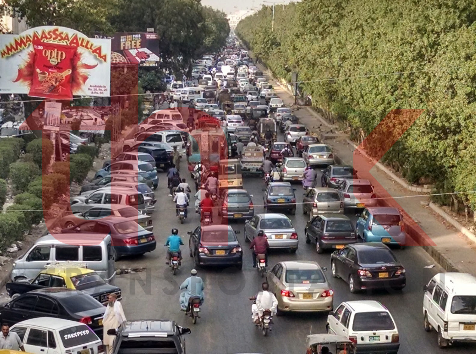
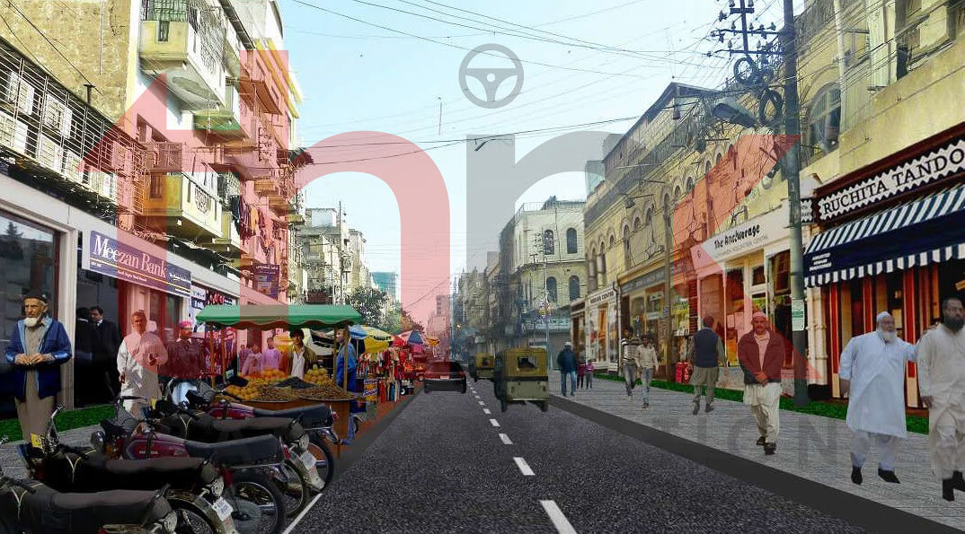
Non-Motorized Corridor Analysis of Saddar Town Walking is the most familiar form of non-motorized transportation (NMT). Other common form of NMT include bicycles/tricycles; human porterage; handcarts/wheelbarrows; animal drawn carts; and other human powered vehicles. In fact, the definition of NMT includes any form of transportation that provides personal or goods mobility by methods other than

Read More
blog image

Optimizing Car Pooling Supply Through Real Time Demand Prediction

Optimizing Car Pooling Supply Through Real Time Demand Prediction Car Pooling and Ride & Share System are new medium of transportation which is increasingly gaining popularity among commuters. With the rise, there always arises new and novel issues. Timely supply of vehicles in high demand region is important strategy to fulfil commuters demand.Think Transportation provides

Read More
blog image

Real Time Geospatial Data Collection App

Real Time Geospatial Data Collection App Facility Mapping provides means to plan strategic policy based on available resources. It requires marking of geo spatial location of concerned facilities and points along with records of detailed characteristics. Think Transportation carried out detailed exercise of marking of facilities along with their dimension and characteristics. For this, we

Read More
blog image

CONGESTED CORRIDOR AND SPOT IDENTIFICATION

Congested corridor and spot identification of Karachi Karachi is the most populous city of Pakistan. It is the financial hub and sea port of Pakistan. Approximately 90% of the multinational corporations operating in Pakistan are headquartered in Karachi. Karachi is served by a road network estimated to be approximately 9,500 kilometres in length, serving approximately

Read More