Blog

blog image

Congested corridor and spot identification

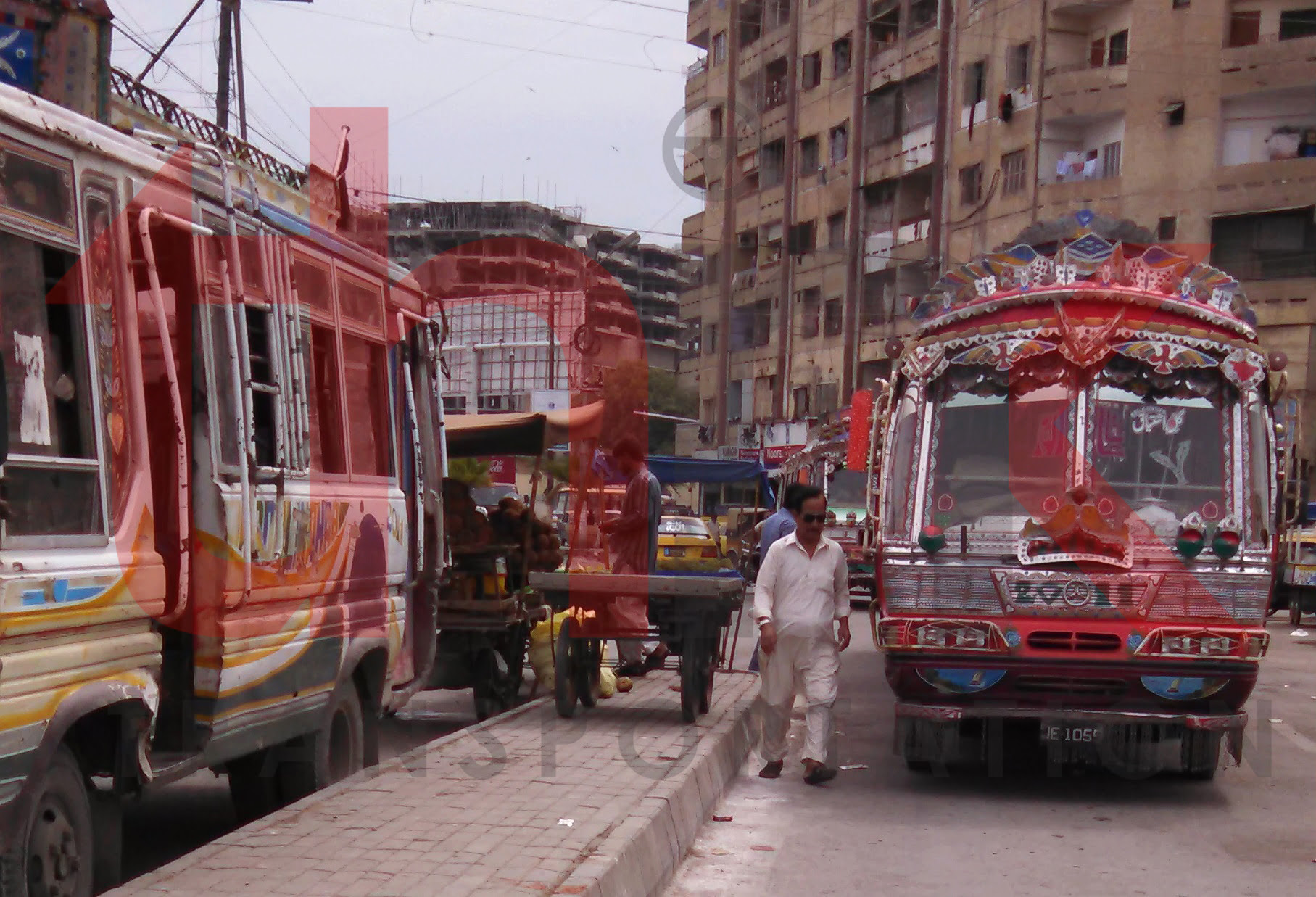
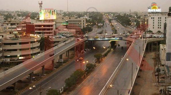
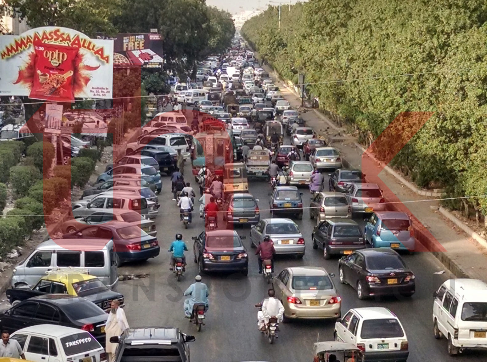
Congested corridor and spot identification of Karachi Karachi is the most populous city of Pakistan. It is the financial hub and sea port of Pakistan. Approximately 90% of the multinational corporations operating in Pakistan are headquartered in Karachi. Karachi is served by a road network estimated to be approximately 9,500 kilometres in length, serving approximately

Read More
blog image

Bus Route Surveys

Travel Time Tracking and Route Identification of All Operation Public Transport Routes of Karachi Karachi is the most populous city of Pakistan. It is the financial hub and sea port of Pakistan. Approximately 90% of the multinational corporations operating in Pakistan are headquartered in Karachi. Karachi is served by a road network estimated to be

Read More
blog image

Inner Ring Road, Multan

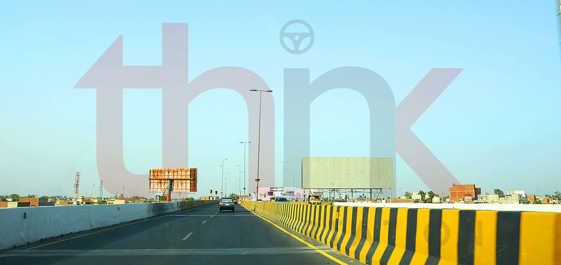
Validation of Travel Demand of Inner Ring Road, Multan Inner Ring Road Multan is a project of improvement of roads of Multan city. Abbreviated as IRRM. Inner Ring of Roads is constituted by LMQ or Khanewal Road, Old Bahawalpur Road, Nusrat Road, Vihari Road. This constitutes almost 20 km roads with many major roundabouts and

Read More
blog image

Regularization of Qinqi’s

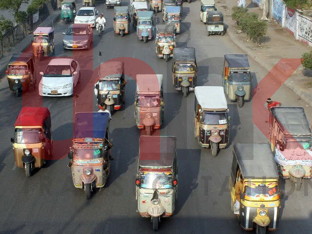
Way Forward for Regularization of Qinqi’s (Sawari) to bring them under the Ambit of Law The significance of sustainable transportation system cannot be overlooked in these times of globalization, mass immigrations, urban sprawl and rural developments. This study has been considered as an effort to understand how the existing transportation systems (and its components) can

Read More
blog image

Yellow Line, Korangi Road

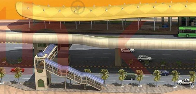
Bus Rapid Transit, Yellow Line, Korangi Road, Karachi Yellow Line Bus Rapid Transit project is proposed from Dawood Chowrangi upto Lucky Star Saddar via Korangi Road (one of the major industrial zone road). This line connects residential areas of Korangi with Korangi Industrial area and Central Business District of Saddar. Think Transportation as a sub

Read More
blog image

Feasibility Study of Shahrah e Faisal BRT

Feasibility Study of Shahrah e Faisal BRT Shahrah e Faisal is heart line of Karachi. It is most traffic serving road of Karachi. It provides link to many prominent traffic attracters including Karachi Port Trust, Airport, PC Hotel, Mehran Hotel, Avari Tower, Regent Plaza, Cantt Station, Jinnah Hospital, Hospital of Cardiology, Foreign Trade Center, Pakistan

Read More
blog image

Non-Motorized Corridor Analysis of Saddar Town

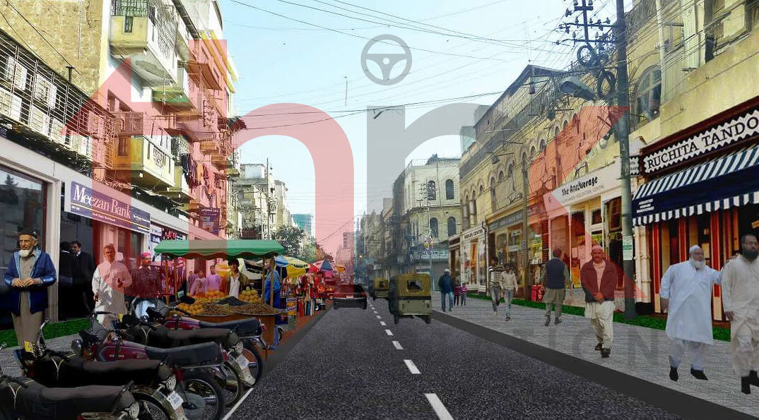
Non-Motorized Corridor Analysis of Saddar Town Walking is the most familiar form of non-motorized transportation (NMT). Other common form of NMT include bicycles/tricycles; human porterage; handcarts/wheelbarrows; animal drawn carts; and other human powered vehicles. In fact, the definition of NMT includes any form of transportation that provides personal or goods mobility by methods other than

Read More
blog image

Peshawar Bus Rapid Transit

Peshawar Bus Rapid Transit Peshawar is the capital of the Pakistani province of Khyber Pakhtunkhwa. It also serves as the administrative center and economic hub for the Federally Administered Tribal Areas. Situated in a broad valley near the eastern end of the historic Khyber Pass, close to the border with Afghanistan. Peshawar is the largest

Read More
blog image

Karachi Hyderabad Motorway (M-9)

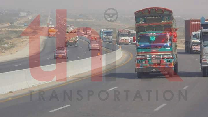
Feasibility Study of Karachi Hyderabad Motorway (M-9) This project undergone detailed traffic studies for feasibility study of proposed motorway between Karachi and Hyderabad. Detailed traffic surveys performed in Karachi, Hyderabad, Jamshoro, Kotri.

Read More
blog image

Dualization of Hasilpur Bahawalnagar Road

Feasibility Study of Dualization of Hasilpur Bahawalnagar Road The road network in Pakistan carries over 96 percent of inland freight and 92 percent of passenger traffic and is undoubtedly the backbone of the economy 1. With this large share in carrying the passenger and goods traffic all across the country, roads play a major role

Read More