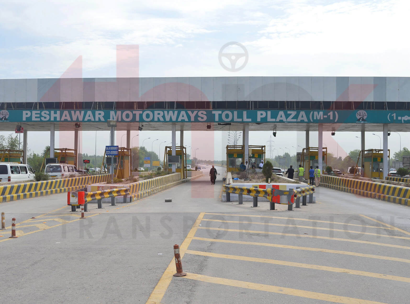
project_category: Transportation Planning

Transportation Planning

blog image

PESHAWAR EXPRESSWAY

Peshawar Expressway Peshawar is the capital city of Khyber Pakhtunkhwa (KPK), the North Western Province of Pakistan. It is situated at two-hour drive from the national capital of Islamabad in the Indus valley near the Afghan border. Peshawar is surrounded by Charsadda and Swat in the North, connecting Mardan, Nowshera, and Attock in East, Jamrud,

Read More
blog image

FREIGHT TRAIN PIPRI MARSHALLING YARD

Feasibility Study of New Freight Train from Karachi Port to Pipri Marshalling Yard The KPT is located on the east of Arabian Sea and the city has been developed around the port. The entire in-going and out-going port traffic has to pass through the city, further congesting the city roads. CHEC proposes to undertake a

Read More
blog image

PESHAWAR BUS RAPID TRANSIT

Peshawar Bus Rapid Transit Peshawar is the capital of the Pakistani province of Khyber Pakhtunkhwa. It also serves as the administrative center and economic hub for the Federally Administered Tribal Areas. Situated in a broad valley near the eastern end of the historic Khyber Pass, close to the border with Afghanistan. Peshawar is the largest

Read More
blog image

NON-MOTORIZED CORRIDOR ANALYSIS OF SADDAR TOWN

Non-Motorized Corridor Analysis of Saddar Town Walking is the most familiar form of non-motorized transportation (NMT). Other common form of NMT include bicycles/tricycles; human porterage; handcarts/wheelbarrows; animal drawn carts; and other human powered vehicles. In fact, the definition of NMT includes any form of transportation that provides personal or goods mobility by methods other than

Read More
blog image

Feasibility Study of Malir Expressway, Karachi

Feasibility Study of Malir Expressway, Karachi Malir Expressway is the shortest and fastest way for connecting upcountry traffic with Port Region of Karachi. This proposed Expressway is going to be the longest road planned to constructed in Urban Area of Karachi City. Feasibility study was conducted to estimate potential demand of proposed expressway along with

Read More
blog image

RAILWAY LINK GWADAR TO MASTUNG

Travel Demand Analysis of Proposed Railway Link between Gwadar and Mastung Gwadar being located near the Strait of Hormuz is definitely a very important sea port. Despite a known potential for a leading international port, Gwadar has remained a small village town until early 1990s when it was considered important enough to prepare a feasibility

Read More
blog image

Traffic Surveys of Karachi Port Trust Region

Traffic Surveys of Karachi Port Trust Region The Port of Karachi is one of South Asia’s biggest and busiest seaports, contributing a major proportion of the nation’s cargo. It is located between the of Keamari town and Saddar town, close to the main business district and several industrial areas. Karachi Port zone include Karachi Port,

Read More
blog image

FEASIBILITY STUDY OF SHAHRAH E FAISAL BRT

Feasibility Study of Shahrah e Faisal BRT Shahrah e Faisal is heart line of Karachi. It is most traffic serving road of Karachi. It provides link to many prominent traffic attracters including Karachi Port Trust, Airport, PC Hotel, Mehran Hotel, Avari Tower, Regent Plaza, Cantt Station, Jinnah Hospital, Hospital of Cardiology, Foreign Trade Center, Pakistan

Read More
blog image

KARACHI HYDERABAD MOTORWAY

Travel Demand Modelling of Karachi Hyderabad Motorway (M-9) National Logistic System is the most critical and an important facet for the economic growth of a country. The lifeline of the economy is directly dependent upon the transportation network and its optimized operations. Effective planning and execution of the transportation requires a high degree of traffic

Read More
blog image

Sindh Transportation Master Planning Study (Priority Road Sections)

Sindh Transportation Master Planning Study (Priority Road Sections) The project aims to establish a baseline for corrective measures required for roads in the interior Sindh by gathering traffic data, particularly origin and destination and midblock counts, at different identified roads connecting small towns. This data is then be used for analyzing service level of each

Read More