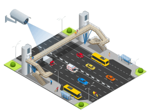
Data Collection

model-development-data-collection

Data Collection

Robust perception is the basis of safe trajectory planning and control thus semantic scene understanding is necessary for the partial/complete autonomy of these vehicles.

We expand your data collection effort from monocular & stereo camera, omnidirectional & event camera, LIDAR and RADAR which we combine and process across the spatiotemporal trajectories providing you a clean dataset set to your required standards.

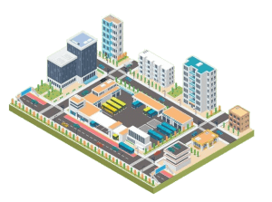
Data Labelling and Verification

Annotated and verified data is necessary for any supervised deep learning model development pipeline, without which model training would lead to slower convergence & unnecessary edge-cases and creating unknown errors throughout the development cycle.

Think Transportation provides the service of labeling data for classification, detection, segmentation and tracking in the 2D & 3D space and at an object and environment scale. The data is carefully constructed and made as much as possible to be highly representative of a majority of edge-cases as well as keeping negative data to reduce false alarms.          

    About Shape
    About Shape
    About Shape

    Types of Labeling Services

    We provide the following services for aerial imagery analysis, autonomous vehicles vision modules, retail monitoring and automation, security alerts, inventory management, quality control, traffic analysis and more. 

    1. Object Segmentation: Classify each pixel into the category of the label of the object the pixel is overlapping with.
    2. Object Polygon: Create a multi-sided region around the object of interest with its associated label(s).
    3. Object Bounding Box: Create a 2D rectangle around the object of interest with its associated label(s).
    4. Entity Key-points: Create coordinate points at key regions on the entity. Key-points can be labelled and sequential.
    5. Lines: Create (un)labelled straight or curved lines on the images.
    6. Object Cuboids: Create 3 dimensional cuboids around the object in the images with the associated labels.
    7. Object Tracking: Identify objects across the scenes and associate them temporally and spatially via assigned ids and labels.
    8. Attribute Labeling: Identify images (or) objects with a series of attributes according to your specifications.
    9. Image Transcription: Spatially digitize the text in the image contextually, according to your requirements.
    10. Image Captioning: Convert the image into meaningful sentences describing the image according to your requirements.
    11. Video Annotation: Smartly label entities in the video, frame-by-frame, in any mixture of the above annotation types.  

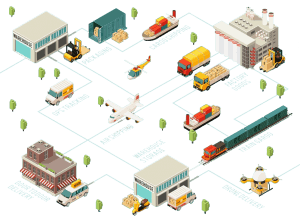
    Browse More our Service

    Shape
    Shape
    Shape
    Shape
    Shape
    Shape
    Shape
    Shape
    Shape
    Shape
    Discuss Your Project with Us
    Start Discussion