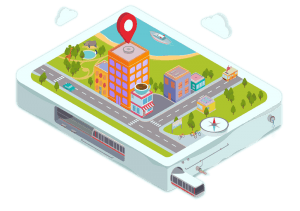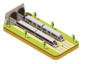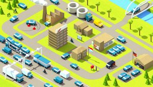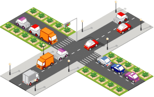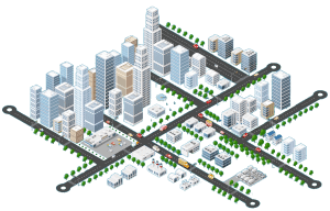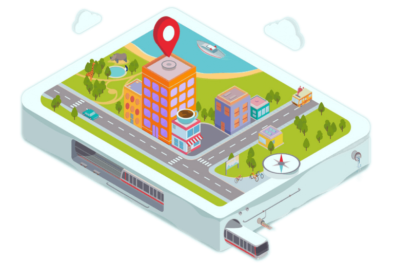
GIS Mapping and Remote Sensing
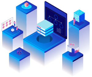
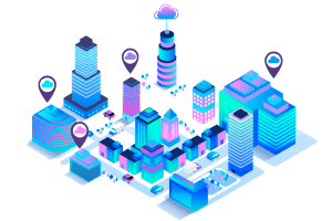
Geographic Information Systems (GIS) are influential tools for business or industry to assist in decision-making as it permits the analyzation of spatial and temporal data with environmental, demographical, and topographical perspective. Data intelligence compiled from GIS applications helped companies and industries, and consumers, to make informed decisions.
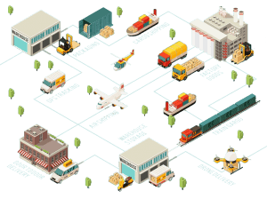
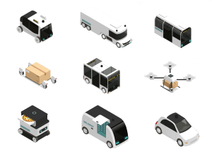
Think Transportation is specialized in mapping, modeling, and analysis of Geocoded datasets. We have the latest means of collecting and analyzing Geo Spatial data to help our clients to visualize data in a clear and concise manner. We provide solutions to a complex geographic problem by collecting reliable information and analyzing large dataset to offer new insights and solutions from a Geo-spatial perspective.


Browse More our Service